Search This Blog

Friday, 3 May 2013

Adelaide Ride on the TIger 800

Adelaide Trip Details

I'll include all the details I recorded along the way - it might be interesting to those who are travelling in a similar direction. See comments on Caribou panniers and BMW duffel roll at the end of the page.

Click on the pictures to enlarge them for more detail.

Route Map

A Figure of 8 route

April 13 Saturday - Winmalee to Canberra 301km 

Full tank to start.
Headed off on the Saturday lunchtime to Canberra - a stroll down the Hume and the Federal Highways into Belconnen in north-west Canberra.
301km - Petrol Charnwood - 13.97l@$1.72/l (premium) = $24.01 and 21.54km/l.
Odometer 15278 to 15579.

April 14 Sunday - Canberra to Renmark 982km

Left Canberra 6.30am on daylight. Stopped at Gundagai McDonalds at 8am for brekky - raisin toast (excellent) and coffee (not so good).
A good solid headwind all the way to Renmark from here but fine and warm. The hills stop at Wagga Wagga and then its long straight and flat to Renmark but absolutely stunning countryside. Follow the Murrumbidgee and the Murray Rivers with associated increase in vegetation and human activity everytime we came close to the rivers. What a great place we live in.
The headwind didn't help with petrol consumption figures but there's plenty of places to fill up and any bike with at least 150km range will have no problems crossing the plains here. The High Screen worked really well keeping the wind off, especially with the wash from the road trains hitting hard.

Petrol Wagga Wagga at 9.30am. 
278km - 11.37l@169.9c/l=$19.32. 24.45km/l

Petrol and 30 min lunch stop at Hay at 1pm. Very windy to here.
270km - 14.07l@162.9c/l=$22.92. 19.2km/l

Petrol Euston
212km - 12.44l@$167.9c/l=$24.25. 17.44km/l. Very big headwinds here.

Mildura at 4pm.

Renmark 144km at 5.30pm
Odometer 15579 to 16561 and trip at 221.9km from Euston.
Total 11 hours and 981.9km

Stayed at the Renmark Hotel Motel
Corner Para St & Murray Avenue
08 8586 6755
$120 Riverview Balcony room
Excellent dinner at Bistro. River is spectacular.

On the Murray River at Renmark

Putting on more jumpers - feral pests hanging on the fence.
Very green along the Murray at Renmark

April 15 Monday - Renmark to Adelaide 291km

Grandma's house Kulkyne St nr Cucamungo st end. All tin fence and house at #332.
Cemetery on Arumpo st off Cucamungo st
Go to the left side of the cemetery off Arumpo st and then go right to the back where the green grass section is. Grandma is 2nd last row B-82.

Left Renmark at 9.00am
Petrol Barmera 9.35am
257km - 14.07l@160.9c/l=$22.64. 18.3km/l

Via Maggie Beer's farm shop on Pheasantville Rd, nr Tanunda. Left here at 11.30am.

One Tree Hill 230km 1.30pm

Adelaide 39km 6.30pm
Millswood.
Odometer 16561 to 16852km. 

Grandma's house, Renmark

Grandma's grave, Renmark

At Maggie Beer's farm

April 16 Tuesday - bike rest day.

Mollydooker winery tour 10am - excellent and so informative - highly recommended and the wine is of course spectacular esp. Shiraz.
Coppermine Rd, McLarenvale
08 8323 6500.
Walked some beaches south of Adelaide.

Continuous Aboriginal civilisation - since the last Ice Age.

Even touched the water

Steps to the beach

Mollydooker Winery

Wine tourists!

Watch for snakes at the beach

April 17 Wednesday - Adelaide to Penneshaw (Kangaroo Island) 106km

Petrol Adelaide South St Marys
261km - 13.15l @ 152.7c/l =$20.08. 19.8km/l

YHA Penneshaw
100.6km
Odometer 16852 to 16958km
Kangaroo Island Sealink ferry from Cape Jervis at 12 noon. Takes about an hour including load/unloading. Booked this a month or so back - you can't book a motorbike online onto the ferry - you have to ring them and they are very efficient with everything completed over the phone. Ferry and two passengers return was $225. Phone 13 13 01.

Overnight at YHA Penneshaw, 33 Middle Tce, Penneshaw. Booked this a month previously. Private room with bathroom was $53/night.
Reception open 9-12 & 6-8.

Engine warning light came on as we rode off the ferry. My guess is that its the gear position indicator switch is faulty. We couldn't risk keeping riding it though so we stayed just 1 night at YHA then swapped our return ferry booking from Friday to Thursday 8.30. Rang and booked Peter Stevens Triumph in Adelaide to plug their computer into bike at 11.30 Thursday to check it out.
Dinner at cafe opposite pub. Very nice Fisherman's basket.

On the way to Kangaroo Island (KI) ferry.

Waiting at the Cape Jervis Sealink ferry terminal

Bike tied down on the ferry

At the Pub on the headland at Penneshaw

Penguin beach and mainland in the background

KI coastline

Waiting for the ferry to go back to Adelaide

April 18 Thursday - Penneshaw to Ouyen (Victoria) 491km

Up early and at the ferry by 7.30 to catch the 8.30 ferry. Arrive Cape Jervis and off to Adelaide by 9.30. Arrive Adelaide Triumph 11.30 at 221 Franklin St, City. They confirm in about 10 mins that its the faulty switch and can be ridden home ok. No switches available anywhere in Australia. Order one when we get home. Excellent windy bike road for the 50km out of Cape Jervis towards Adelaide.

Petrol Adelaide 12.02pm 17070km
212km - 9.67l @ 150.2c/l =$14.53. 21.9km/l 

Lunch at Hahndorf German Arms Hotel. Leave at 1.30pm. Well worth a stop here - Hahndorf is a beautiful town.

Petrol Lameroo 2.57pm 17268km
198.7km - 10.51l@165.0c/l=$17.34. 18.9km/l

Stay at Ouyen at the Mallee View Motel. Arrived 5.23pm and had not booked ahead but there was one vacancy for $90. Excellent place.
Trip = 178km
Odometer 16958 to 17446km.
Dinner at Victoria Hotel was excellent.
Peter Stevens Triumph in Adelaide (my Tiger on the left)

The portable garage at Mallee View Motel, Ouyen

April 19 Friday - Ouyen to Winmalee 936km


Petrol Ouyen 7.10am
178.4km - $14.14@142.9c/l=9.9l. 18km/l

Windy and cold all day today but fine and clear. Max temp about 15.

Petrol Balranald 9.17am
152km - 7.44l@153.9c/l=$11.45. 20.4km/l

Petrol Hay 10.41am 17730km 
131.5km - 6.55l@152.9c/l=$10.05. 20.1km/l

Petrol West Wyalong 1.27pm 17986km 
256km - 13.1l@149.9c/l=$19.64. 19.5km/l

Petrol Bathurst 5.22pm 18253km 
266km - 13.37l@155.9c/l=$20.85. 19.9km/l

Home 7.15pm
132.5km
Odometer 17446 to 18385km
Total 12 hours since Ouyen and 936km.
Dark from Bathurst onwards and heavy traffic - wouldn't ride this at night if I didn't know the road a bit.

TOTAL km = 3107km
Average km/l = 19.96km/l.

In Balranald on the way home.

Gear Comments:

Panniers

The Caribou Panniers sit well with the two of us on-board with no noticeable change in the handling and are generally strong and solid. The same cannot be said of the fittings which hold the lid in place however. The stays for the lid broke and the hinge pins kept working loose which needed hammering back in at the end of each day - really annoying.


Broken lid stay - they all fell off eventually.

I replaced the bolts and stays with chains.

This is the hinge pin working loose.

BMW Luggage Roll 

Unfortunately it doesn't quite sit between the panniers across the tailpiece and is a bit lopsided but attaches firmly with the straps. The zip is the main complaint though about the bag - you need to be Hercules to open and close the sucker. I tried graphite, silicon lubricant, and even grease and none of them made any difference. The other problem is that I can't easily fit my helmet inside it due to the shape of the bag. I will need to try something else in future. I have used Gearsack bags up until now but I find I can't buy them anymore. Triumph make a 55l bag but its not waterproof.

The BMW roll doesn't sit real well on the Tiger.

Wednesday, 10 April 2013

Adelaide Return on the Tiger 800

Heading off to Adelaide and Kangaroo Island for a week to give the Tiger a first big run. Going via Canberra, Wagga Wagga, Renmark (see my Grandma's old house and gravesite), One Tree Hill (catch up with my aunt and family), Adelaide (with friends), ferry over to Kangaroo Island (staying at the Youth Hostel) and then home via Victor Harbour, Ouyen, Balranald, Hay, West Wyalong and Bathurst. All up should be about 3200km in a week.

Test driving all the gear fitted since new:

  • high windshield
  • Bark Busters
  • AMHP headlight shield
  • Caribou panniers with Hepco and Becker racks
  • BMW luggage roll.
Oil change of Castrol Power 1 Racing should see it through.

Wednesday, 20 February 2013

New Zealand Great Walks - Routeburn Track

We had a bus drop off at a place called "The Divide" which is about an hour out of Te Anau toward Milford Sound. This is the start of the Routeburn Track from the west - most brochures from the Department of Conservation describe the track walking from the Queenstown side. In the map below, "The Divide" is at the bottom left hand side.

Routeburn Track Map
In summary, we spent the first night at Lake Mackenzie Hut, then 2 nights at Routeburn Falls Hut and then got picked up at the Routeburn Shelter by bus. Its about 30km from "The Divide" to Routeburn Shelter.

We left Te Anau at 8.30 on the bus and were dropped at "The Divide" at about 9.30am. It is well named as it is where the road passes out of the valley of Lake Fergus and climbs up over the saddle into the Hollyford River valley. Packs were all loaded after our stay in Te Anau and so we set off in pretty good weather and about 12 degrees.

It took us about an hour (its uphill but not as steep as the first part of the Kepler Track) to walk to the turnoff to Key Summit - this is the top of the ridge separating Lake Fergus from Lake Howden. We left our packs at the track turnoff and walked up to the top (about 20 minutes). There is a toilet about half way up in the middle of nowhere! We are so impressed with the National Parks people and the services provided in New Zealand.

Toilet on Key Summit lower slope - the cable tie-downs stop it being blown away (from the inside or the outside!)

The view from Key Summit is great and we were very lucky to have a clear day.

Key Summit view - looking north west over the Hollyford River Valley

Flying on the summit of Key Summit

Walked back down and donned the packs and walked on down the hill to Lake Howden Hut (only about 20 minutes) - this would be a good spot to stay overnight before setting out on the Greenstone Track or the Caples Tracks - both of which head down different valleys and you can be picked up over towards Queenstown. It was only about lunchtime as we headed along the side of the the Hollyford River Valley at about the height of the tree line. The forests here were exactly like the Ent forests shown in the "Lord of the Rings" movie with very long moss and lichen beards hanging off them.

Tree line between Howden Hut and Earland Falls.

About an hour after Howden Hut, Earland Falls cuts across the track off the Ailsa Mountains to the east. Plenty of water all along the track by the way - no need to carry any water here.

Earland Falls

Great views all the way along this part of the track - you can see down into Gunn's Camp in the Hollyford Valley as well as the full length of the valley - this was the route of the indigenous people at some earlier time coming looking for the Greenstone most prized as a precious stone. We were very lucky with the weather compared to last week - sunshine and blue skies - wow!

About an hour after Earland Falls, we reached Lake Mackenzie Hut - our stop for the night. The track got very rough towards the end as it descended for the last kilometre or so down some large rock steps. The Hut was a welcome sight and the sunshine lasted until sundown at nearly 10pm making for some great light for photography.

Lake Mackenzie Hut

From the Lake Mackenzie Hut verandah


Reflections on Lake Mackenzie

Looking across Lake Mackenzie from the Hut

Went with the kids for a swim and a wash in the lake - it was very cold - I reckon about 8 degrees but OK to wash the vitals after a long day's walk. Dinner was another powdered something or other - they are all starting to taste the same. The ranger here was excellent - told us all about the stoats and the work being done to eradicate them. They not only eat bird's eggs but the birds themselves - the mountains here are bereft of wildlife as a result.

A stoat trap - these are everywhere along the track

Stoats were imported to kill rabbits but liked birdlife better.

Slept really well and were off by about 8am next day with a climb out of the valley where the lake sits providing some great views of the Hut and Lake from a distance.

Lake Mackenzie Hut from the climb out towards Routeburn Falls

About 3 hours out from Lake Mackenzie Hut, we reached Harris Saddle - the point at which we climb out of the Hollyford Valley and over into the Routeburn Valley.

View over the Hollyford Valley and Gunn's Camp


There is an emergency shelter here - well actually there are two - one for the plebs like us who carry all their gear with them and one for the high flyers who pay to have their gear helicoptered in for them and has morning tea and lunch provided in their hut for them.

Harris Saddle Huts - toilet in white, plebs shelter and then paid shelter to the left.

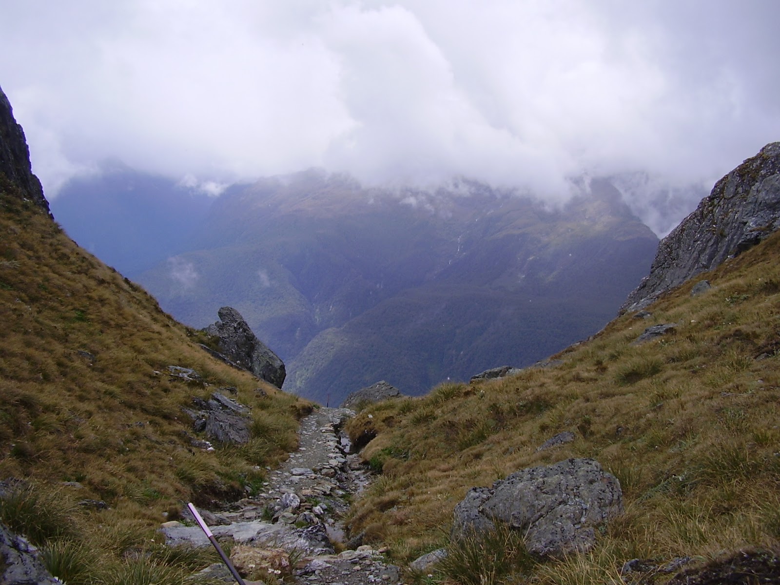
We passed the turnoff here to the Conical Hill summit (we would come back tomorrow) as the weather was closing in a little and the Routeburn Falls Hut was still another hour or two away. The scenery from Harris Saddle onwards is stunning with snowcapped peaks all around and perched lakes and ribbons of water courses.

Harris Lake near Harris Saddle - you can see the Routeburn Track on the way toward the Hut.

Mountains near Harris Lake

The track above Harris Lake looking back toward Harris Saddle
Looking down the Routeburn Valley from Harris Lake


Walking down from the Harris Saddle to the Routeburn Falls Hut took about an hour or so with the views shown above all the way down. It started to rain on the way which made a bit slippery in parts. The Hut is similarly outfitted to the others but interesting that now that we were in the Mt Aspiring National Park instead of the Fjordland National Park (boundary at Harris Saddle), the role of the Ranger was different - less track maintenance and more Hut maintenance - and the Hut was very clean.
We spent two nights here. The weather forecasts here are about as accurate as at home ie. no one can predict the weather! There was heavy rain forecast for the next 2 days but we woke next day to sunshine so we walked back up to Harris Saddle to tackle the Conical Hill Summit walk. In the space of the time we were away from the Hut, we had sunshine, rain, snow and high winds and all at different times and the temperature didn't really change from about 5-6 degrees - what a stunning place!


Route Burn

Routeburn Falls

Weather forecast for the walk to Harris Saddle and Conical Hill Summit

View off the Conical Hill above Harris Saddle

Looking at Martins Bay in the distance on the west coast from the top of the Conical Hill Summit


Elevation of Conical Hill Summit

Sign at Routeburn Falls Hut

After the second night we wandered off the next morning to the bus pickup at the Routeburn Shelter about 4-5 hours away. This took us down the Route Burn past the Routeburn Flats Hut and through some beautiful forests - a very pretty and easy walk with some sunshine weather and crystal clear water - can't complain about that. Can complain about the sandflys arriving again though from Routeburn Flats Hut onwards.

Routeburn Flats from Routeburn Hut verandah

Routeburn Flats Hut - about an hour down from the Falls Hut

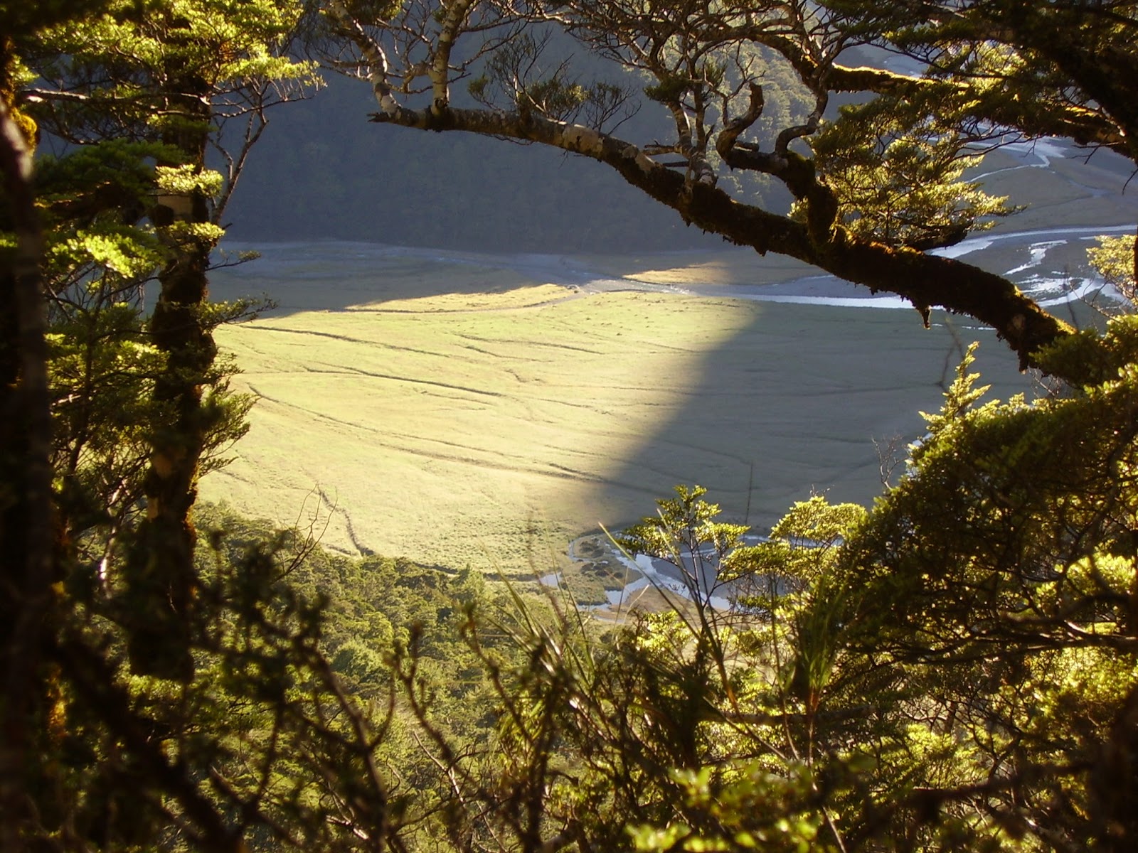
Routeburn Flats

Routeburn Flats and valley

Schist near the Routeburn Shelter

Tania on one of the many swing bridges towards Routeburn Shelter

Routeburn Shelter - track ends here and the road home begins
Route Burn water